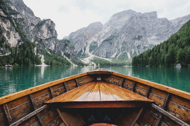
Overview
The
Tibetan Plateau, also known as the
Qinghai-Tibet Plateau, is a vast and elevated region in Central Asia, covering an area of approximately 2.5 million square kilometers. It is situated at an average elevation of over 4,500 meters above sea level, making it the highest and largest plateau in the world. The plateau is bounded by the
Himalayan Mountains to the south, the
Kunlun Mountains to the north, and the
Qinling Mountains to the east. The region is characterized by a unique and diverse geography, with numerous
rivers,
lakes, and
mountains that support a wide range of flora and fauna.
The Tibetan Plateau is home to several major rivers, including the Yangtze, Yellow, and Mekong rivers, which originate from the plateau and flow through several countries in Asia. The region is also home to several large lakes, including Lake Namtso and Lake Manasarovar, which are considered sacred by the local population. The plateau is also characterized by a unique and diverse climate, with cold winters and mild summers, and a distinct monsoon season that brings significant rainfall to the region.
The Tibetan Plateau has a rich and diverse cultural heritage, with a unique blend of Tibetan, Chinese, and Indian influences. The region is home to several Buddhist monasteries and temples, including the Potala Palace in Lhasa, which is a UNESCO World Heritage Site. The plateau is also home to several ethnic groups, including the Tibetans, Qinghai, and Nepalis, each with their own unique language, customs, and traditions.
History/Background
The
Tibetan Plateau has a long and complex
history, with evidence of human habitation dating back to the
Paleolithic era. The region was initially inhabited by
nomadic tribes, who lived in the area for thousands of years before the arrival of
Buddhism in the 7th century. The
Tibetan Empire was established in the 7th century, with its capital in
Lhasa, and the region became a major center of
Buddhist learning and culture. The
Tibetan Plateau was also an important
trade route, with the
Silk Road passing through the region and connecting
China with
India and
Europe.
Key Information
The
Tibetan Plateau is a region of significant
geological and
ecological importance, with several
endemic species of flora and fauna found only in the region. The plateau is also home to several
mineral resources, including
copper,
gold, and
lithium, which are mined and exported to other countries. The region has a
population of approximately 10 million people, with the majority being
Tibetans and
Qinghai. The
Tibetan Plateau covers an area of approximately 2.5 million square kilometers, with an average elevation of over 4,500 meters above sea level.
Significance
The
Tibetan Plateau is a region of significant
cultural,
geographical, and
environmental importance, with a unique and diverse
ecosystem that supports a wide range of flora and fauna. The region is also an important
spiritual center, with several
Buddhist monasteries and temples that attract millions of
pilgrims and
tourists each year. The
Tibetan Plateau is also a significant
economic region, with several
mineral resources and
hydroelectric power plants that generate significant revenue for the local economy.