



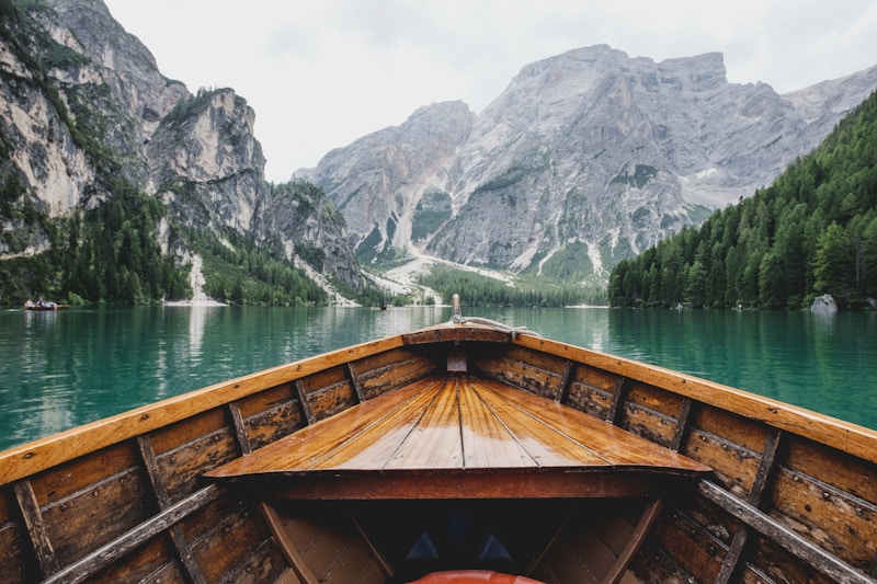

Overview
The Tibetan Plateau, also known as the Qinghai-Tibet Plateau, is a vast and elevated region in Central Asia, covering an area of approximately 2.5 million square kilometers. It is situated at an average elevation of over 4,500 meters above sea level, making it the highest and largest plateau in the world. The plateau is bounded by the Himalayan Mountains to the south, the Karakoram Range to the west, and the Qinling Mountains to the east. The region is home to several major rivers, including the Yarlung Tsangpo River, which flows through the plateau and eventually becomes the Brahmaputra River in India.The Tibetan Plateau is a region of great geographical diversity, with a range of landscapes including mountains, valleys, lakes, and grasslands. The climate is generally cold and dry, with long, harsh winters and short, cool summers. The region is also home to a wide range of flora and fauna, including several endangered species such as the Tibetan antelope and the snow leopard. The plateau is also rich in natural resources, including copper, iron, and lithium, which have been exploited in recent years.
The Tibetan Plateau has a rich cultural heritage, with a unique and distinct Tibetan culture that has developed over centuries. The region is home to several important Buddhist monasteries and temples, including the Potala Palace in Lhasa, which was the former residence of the Dalai Lama. The plateau is also home to several ethnic groups, including the Tibetans, Qinghai, and Nepalis, each with their own distinct language, customs, and traditions.
History/Background
The Tibetan Plateau has a long and complex history, with evidence of human habitation dating back to the Paleolithic era. The region was initially inhabited by nomadic tribes, who developed a unique culture and way of life adapted to the harsh climate and geography of the plateau. In the 7th century, the Tibetan Empire was established, which played a significant role in the development of Buddhism in the region. The empire was eventually fragmented, and the region was ruled by various dynasties and warlords until the 13th century, when it was incorporated into the Mongol Empire.In the 18th century, the Tibetan Plateau was annexed by the Qing dynasty, which ruled the region until the early 20th century. In 1951, the region was incorporated into the People's Republic of China, which has since exercised control over the plateau. The region has been the subject of controversy and tension in recent years, with Tibetan nationalists seeking greater autonomy or independence from China.


